


KEENE, N.H. (MyKeeneNow) If you’ve looked up recently and wondered why a plane has been cruising unusually low over Keene and surrounding towns, you’re not alone — and there’s a scientific reason behind it.
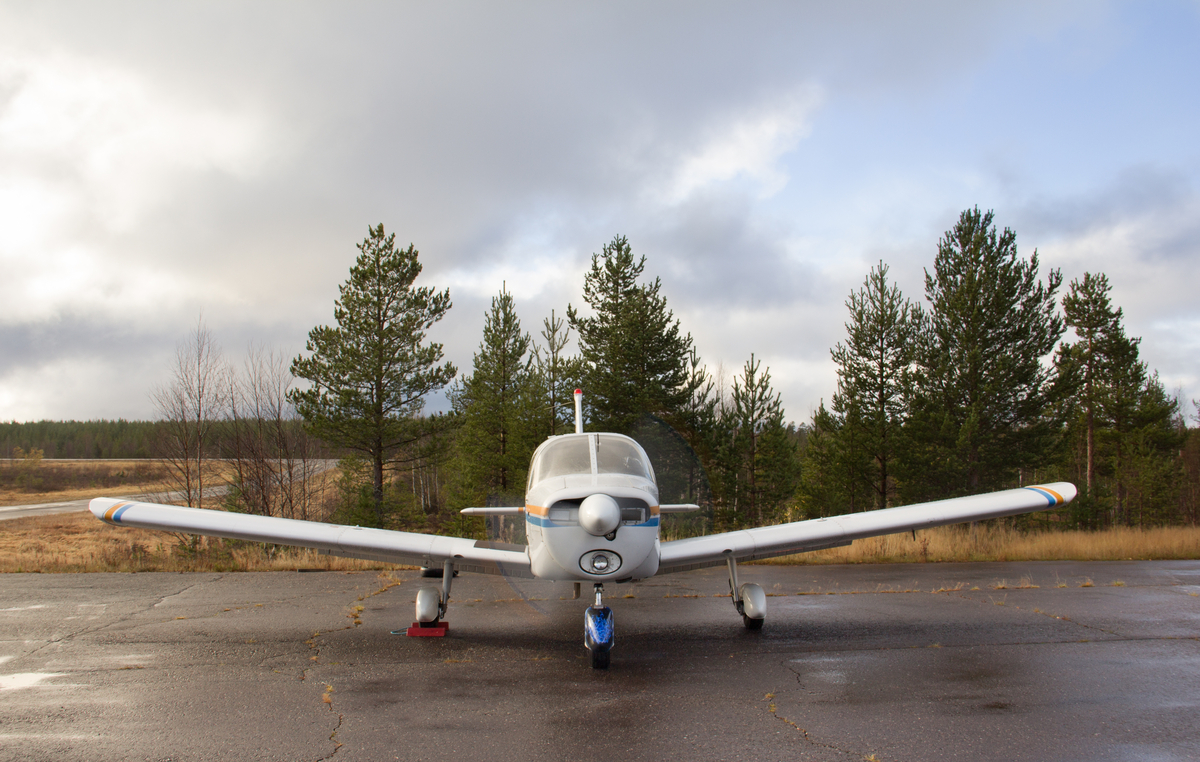
The U.S. Geological Survey (USGS) has launched an airborne survey across the Connecticut River Valley, including Cheshire County and other parts of New England, to better understand the region’s geology. The aircraft, a Cessna Caravan, has been spotted flying at altitudes as low as 300 feet in some areas as part of the project, which stretches into Massachusetts, Connecticut, and beyond.
This low-level flying may look unusual, but it’s perfectly legal and coordinated with the Federal Aviation Administration. The plane’s pilots are specially trained for this type of work and follow strict flight safety regulations. The flights are only conducted during daylight hours and at higher altitudes over populated areas.
So, what’s the purpose? The plane is equipped with sensors mounted on a long boom to measure natural signals from rock formations below the surface. It won’t be taking photos or video and doesn’t emit anything harmful. The sensors simply pick up small differences in Earth’s magnetic field and natural radiation, which vary based on the types of rocks underground — even those buried miles deep.
This survey is part of a nationwide initiative called the Earth Mapping Resources Initiative. The data it collects will help scientists create 3D maps of the region’s geology, identify locations of important minerals, and better understand natural hazards like earthquakes or radon zones. One goal is to map deposits of a mineral called pyrrhotite, which has caused crumbling concrete problems in homes and buildings in parts of Connecticut and Massachusetts.
The USGS is partnering with state geological agencies in New Hampshire, Massachusetts, Connecticut, Vermont, and Rhode Island for the project. It’s funded by the federal Infrastructure Investment and Jobs Act.
Once the survey is complete, all data will be made publicly available online.
For more details, visit the USGS website on low-level airplane surveys.