


KEENE, N.H. (MyKeeneNow) Michael Hagan, the City of Keene’s Certified Floodplain Manager and Community Rating System Coordinator, joined host Dan Mitchell on Good Morning with Dan Mitchell on WKBK Radio Tuesday to discuss the impact of newly updated FEMA flood maps for Cheshire County.
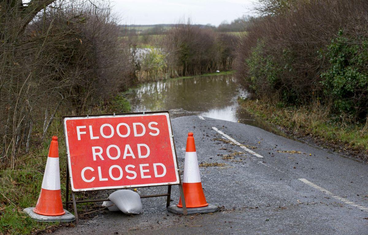
This is the first time in 20 years that FEMA has revised the region’s flood maps, incorporating changes in development and climate patterns. According to Hagan, the updated preliminary maps show a significant increase in the number of properties designated as being within special flood hazard areas. In Keene, that number has risen from 16 to 30 percent, meaning more homeowners and businesses may now be required to carry flood insurance.
For those with federally-backed mortgages, flood insurance is mandatory if their property falls within these high-risk flood zones. Hagan noted that the cost of flood insurance can range from $1,200 to $3,000 per year, depending on factors such as property location and elevation.
Residents concerned about their floodplain designation can review the preliminary maps online. Hagan emphasized that property owners have the right to appeal if they believe their property has been incorrectly classified. Appeals must be supported by technical data, such as an elevation certificate from a surveyor or engineer.
The appeal period will remain open for several months before the final maps are adopted, giving residents time to review their status and take action if necessary.
Hagan encouraged property owners to stay informed about flood risks and insurance requirements, noting that Keene participates in FEMA’s Community Rating System (CRS), which can help reduce insurance premiums for residents.
For more information, residents can visit the City of Keene’s website or FEMA’s flood map portal to review the new designations and learn about the appeal process.
Listen to the full interview: