


KEENE, NH – More rain is heading towards the Monadnock Region Thursday with the potential for more flooding.
Area towns are still trying to assess and repair damage delt by storms that rolled through Sunday afternoon and into Monday, which washed out roads and flooded bodies of water all over the region.
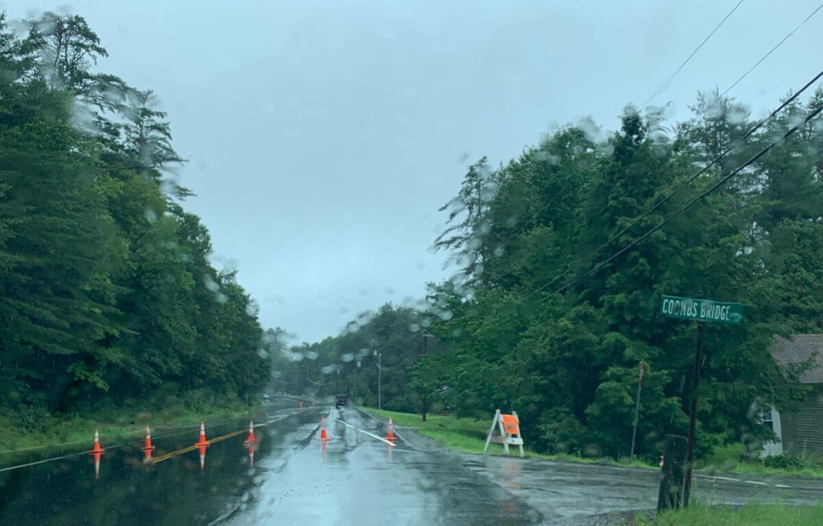
Preliminary assessments in Swanzey estimate the damage to be in the $1-2 million range. Some roads there have been made passable for residents and emergency vehicles only, while others are still impassible and remain closed.
Winchester was among the hardest hit communities as well with a section of Route 10 remaining closed for the foreseeable future. Town Administrator Karey Miner says she hasn’t received word from the state on an estimate as to when that may be made passable and reopened for traffic.
Numerous floods, washouts, and road closures were reported all over the region in places like Alstead, Antrim, Chesterfield, Marlow, Nelson, Stoddard, Surry, Walpole, and into Westminster and elsewhere in Vermont.
Reports show that Vermont wound up getting about two months’ worth of rain in two days. Governor Phil Scott declared a state of emergency to help support repairs.
New Hampshire is expected to receive another round of widespread rain starting late Thursday. A Flood Watch remains in effect in several areas of the state, including in Cheshire County, until 2:00 A.M. on Friday.
A Flood Watch means that flooding is possible and everyone in the watch area should be prepared, while a Flood Warning means that flooding is imminent or already occurring and everyone in the warning area should take action and get to higher ground immediately.
In a news release Thursday afternoon, the New Hampshire Department of Safety’s Division of Homeland Security and Emergency Management (HSEM) urged residents and visitors to prepare for possible flooding.
“With more rain in the forecast and the possibility of additional flooding, the safety of residents and visitors is of upmost importance,” said Governor Chris Sununu in the release. “Plan ahead, be prepared, monitor local weather forecasts, and be on alert for changing conditions.”
HSEM Director Robert Buxton offered the following flood safety tips:
• If flooding occurs get to higher ground immediately.
• Listen to a NOAA Weather Radio for critical updates from the National Weather Service.
• Just 6 inches of moving water can knock you down, and 1 foot of water can sweep your vehicle away. Use a stick to check the firmness of the ground in front of you.
• If you must evacuate, secure your home, including disconnecting electrical appliances.
• If floodwaters rise around your car but the water is not moving, abandon the car and move to higher ground. Do not leave the car and enter moving water. Just 6 inches of water can reach the bottom of most passenger cars causing loss of control and possible stalling.
• Avoid floodwaters as they may be contaminated by oil, gasoline, or raw sewage. Water may also be electrically charged from underground or downed power lines.
• If driving in a vehicle, remember the saying, “turn around, don’t drown.”
• Find the latest road conditions and closures at newengland511.org.
• Never attempt to drive down a closed road or move traffic barriers
WKBK Staff Meteorologist Pat Pagano’s forecast called for showers and thunderstorms Thursday night, some of them heavy, and for continued showers and gusty thunderstorms on Friday.