

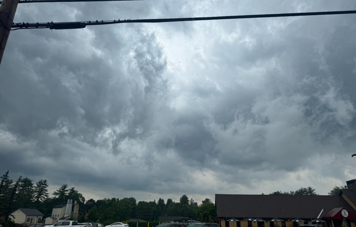

CHESHIRE COUNTY, N.H. (MyKeeneNow) A tornado watch has been issued for Cheshire County as forecasters monitor a line of potentially severe thunderstorms expected to move through the Monadnock Region Thursday afternoon and evening.
The National Weather Service’s Storm Prediction Center included Cheshire County in a tornado watch, which remains in effect until 7 p.m.
A tornado watch means atmospheric conditions are favorable for the development of tornadoes and severe thunderstorms. It does not mean a tornado has been spotted or is occurring.
The watch comes as humidity levels have increased across southwestern New Hampshire ahead of an approaching line of storms. A period of steadier rain moved through the region Thursday morning, accompanied by occasional thunder.
Forecasters say the greatest threat is expected during the afternoon and early evening hours as stronger thunderstorms move through the area. Some storms could become severe.
The primary hazards include damaging wind gusts and torrential downpours. Meteorologists are also warning of an isolated risk of localized flash flooding in areas that receive heavy rainfall in a short period of time.
Residents are encouraged to stay alert for rapidly changing weather conditions and be prepared to seek shelter if severe thunderstorm or tornado warnings are issued later in the day.